
National Weather Radar: Storms Threaten East, Cyclone Watch in North After Record Heat
SYDNEY, 1 February 2026 – Australia’s weather radar network is tracking multiple significant systems this week, with severe thunderstorms currently impacting the southeast and a tropical low over the north posing a renewed cyclone threat. This follows a week of extreme weather that saw a new all-time temperature record set in Victoria.
Current Severe Weather Warnings
The Bureau of Meteorology (BoM) has issued a Severe Thunderstorm Warning for parts of southeastern New South Wales and the Australian Capital Territory, though the heavy rainfall associated with these storms has weakened as of early Sunday morning. Meanwhile, residents in South East Queensland are cleaning up after a series of severe storms lashed the region following a record-breaking Australia Day heatwave. In the north, a severe thunderstorm warning for the Herbert and Lower Burdekin district, including Townsville, was cancelled late last week.
Tropical Cyclone Development Watch
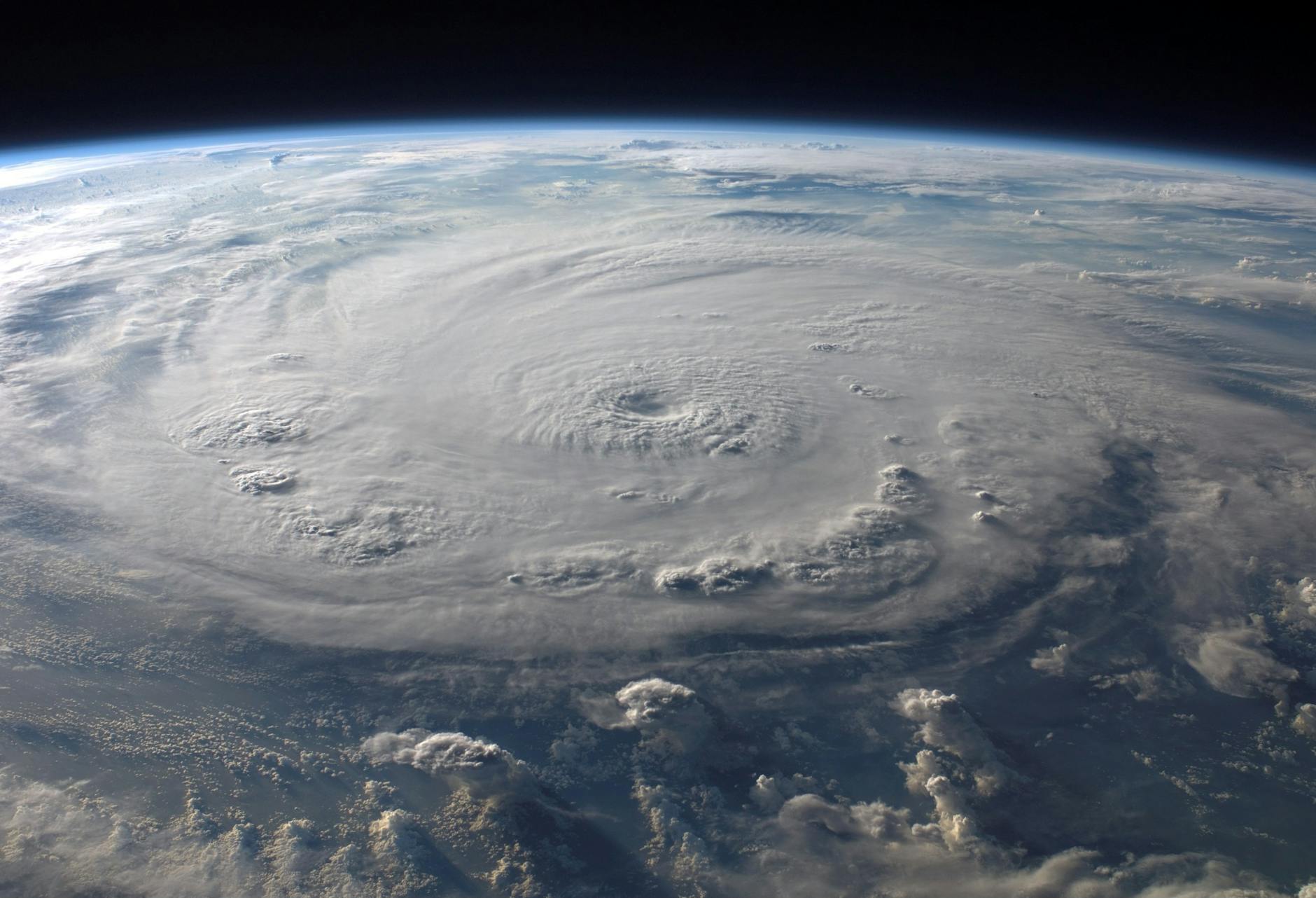
Forecasters are closely monitoring a tropical low hovering over northern Australia, with a significant chance it could intensify into a tropical cyclone over the coming weekend. The system, currently located near the Queensland/Northern Territory border, is expected to bring heavy rainfall and increased storm activity to the Gulf of Carpentaria region. Sky News Australia reported the low “could rapidly intensify,” prompting fresh warnings for communities in its potential path.
Key Facts & Recent Records
| Event | Details |
|---|---|
| Victoria Heat Record | On 27 January 2026, Victoria set a new all-time state temperature record of 48.9°C amid a severe heatwave. |
| Current Cyclone Risk | Tropical Low 18U in the Gulf of Carpentaria has been assigned a Low risk of developing into a cyclone in the 7-day forecast. |
| Ex-Tropical Cyclone Luana | In a rare event, Ex-Tropical Cyclone Luana regained strength over central Australia days after making landfall, according to Weatherzone. |
| Satellite Overview | An upper trough is producing a band of upper-level cloud with embedded thunderstorms over coastal South Australia, Victoria, and northern NSW. |
Frequently Asked Questions
Where can I check the latest weather radar?
The Bureau of Meteorology’s official website (bom.gov.au) provides live radar and satellite imagery, along with all current warnings and forecasts. Private services like Weatherzone and AccuWeather also offer interactive radar maps.
Is there a cyclone coming for Queensland?
There is a tropical low (18U) near the Queensland/NT border with a low chance of developing into a tropical cyclone in the Gulf of Carpentaria over the next seven days. Forecasters advise residents in the region to monitor official BoM forecasts closely over the coming days.
How severe were the recent storms?
The week beginning 26 January brought heavy rain, damaging winds, and severe thunderstorms to south-eastern New South Wales and South East Queensland. The storms followed an extreme heatwave that set a new temperature record in Victoria.